
ECI monitoring concept illustration
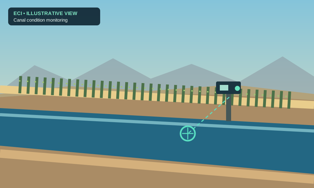
01. Irrigation canal monitoring
Observe bank edges, vegetation encroachment, visible obstructions, and changes near gates and flow-control infrastructure. Build a consistent history for personnel to review.
A practical proposal for ‘Amat Kuhwely (formerly CRIT Farms): use solar-powered, cellular-connected cameras and the Environmental Change Intelligence platform to build a long-term visual record of irrigation canals, standing water, vegetation, soil movement, and infrastructure conditions.
Prepared by HerbDev / Environmental Change Intelligence. This proposal is unsolicited and has not been commissioned, reviewed, or endorsed by the Colorado River Indian Tribes or ‘Amat Kuhwely.
Review deployment optionsSee monitoring scenariosPublic announcements about the expansion of CRIT farming operations emphasize infrastructure improvements and water-use efficiency. ECI offers a proposed way to document visible change over time with consistent, reviewable photographic evidence—not a claim of already-proven performance on CRIT farmland.
The concept is deliberately narrow at the outset: observe selected, authorized sites; capture images at fixed viewpoints; maintain originals; compare images with relevant baselines; and surface changes for qualified staff to review.
Photos can identify visible standing water, erosion, obstruction, vegetation appearance, or changed canal geometry. They do not by themselves measure irrigation efficiency, soil moisture, water volume, or diagnose crop stress. Those require additional calibrated instrumentation and validation.
The photographs below show real agricultural conditions, including locations near Parker and Yuma, Arizona. They are reference imagery, not observations collected by ECI or evidence of current conditions at CRIT Farms. Each scenario also includes an original ECI technical illustration.
ECI monitoring concept illustration
Observe bank edges, vegetation encroachment, visible obstructions, and changes near gates and flow-control infrastructure. Build a consistent history for personnel to review.

ECI monitoring concept illustration
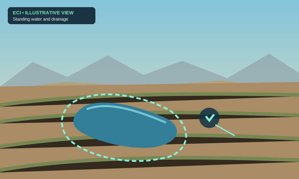
Identify visible pooling and whether its apparent extent persists or changes between scheduled photographs. Prioritize field visits for human confirmation.

ECI monitoring concept illustration
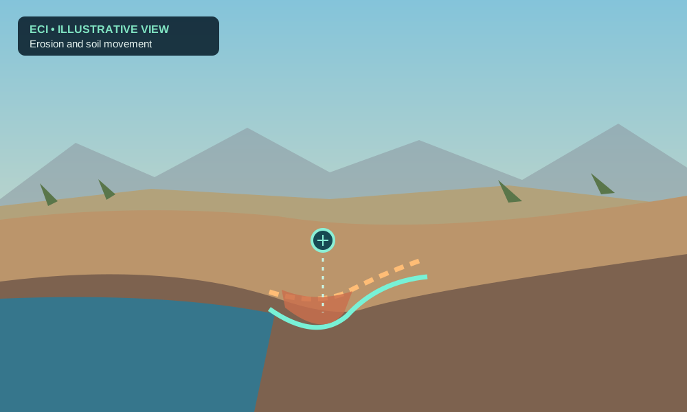
Compare canal banks, access roads, and drainage edges with stable reference views. Review potential soil displacement and record site actions over time.

This public-domain 1972 EPA/National Archives photograph documents irrigation infrastructure on the Colorado River Indian Reservation near Blythe. It is included as historical context only and does not depict today's farm conditions or a current ECI installation.
Photo: Charles O'Rear / US EPA / National Archives (public domain).
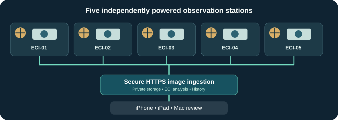
Remote station ingestion and dashboard capabilities are proposed development, not represented as presently deployed features.
Indicative USD planning ranges—not binding quotes, bids, or confirmed supplier pricing. Final scope, labor, site access, cellular coverage, hardware, hosting, and required software work must be confirmed with the farm.
Installed test station budget, exclusive of substantial platform productization and site-specific civil work.
Provisional hardware and field-installation allowance; software engineering quoted separately.
Illustrative scalable equipment and field-installation budget; detailed site survey and software/operations costs separate.
| Budget line | Five-station estimate |
|---|---|
| Cameras, Pi controllers, LTE routers, storage | $2,125 |
| Solar panels, MPPT controllers, LiFePO4 batteries | $3,925 |
| Enclosures, poles, protection, cabling, antennas | $2,750 |
| Hardware subtotal | $8,800 |
| Installation and commissioning allowance | $1,000–$5,200 |
| Indicative installed pilot range | $9,800–$14,000 |
| Estimated recurring LTE/hosting/storage | $70–$190/month |
Not included: platform engineering fees, additional sensors, substantial earthwork, electrical engineering sign-off, permits, site travel, taxes, insurance, maintenance labor, or data-review labor. The 25-station option is a preliminary scaled budget, not a verified quantity discount.
Validate precise Reolink model/API, station power use, server delivery, location permissions, antenna signal, solar siting, and data ownership.
Install an authorized observation point; assess image consistency, outage recovery, heat performance, and false-positive changes.
Commission the five stations, establish baselines, train authorized reviewers, and issue a measured pilot report with acceptance criteria.
HerbDev can discuss a scoped engineering engagement, a managed monitoring service, or a dedicated/full-time technical leadership role to design, integrate, validate, and maintain these systems. Any position or engagement would be subject to the farm's needs, authorization, and agreed terms.
This proposal is an introduction to a possible solution, not an application to an announced or verified job opening.
I would welcome the opportunity to review the concept with ‘Amat Kuhwely's farm operations, irrigation, and technical leadership; identify the highest-value observation locations; and develop a site-specific quote and verification plan.
Contact HerbDevExplore the ECI platformContact: herb.trevathan@icloud.com • HerbDev
